Friday, May 17, 2019

Thur., May 2, 2019. Day 24/80. Raven Rock Shelter. 39.6733N77.5307W. 18.8 miles. 8 hrs, 45 mins. 2.1 mph. 1,061.5 / 1,130.5 to go.

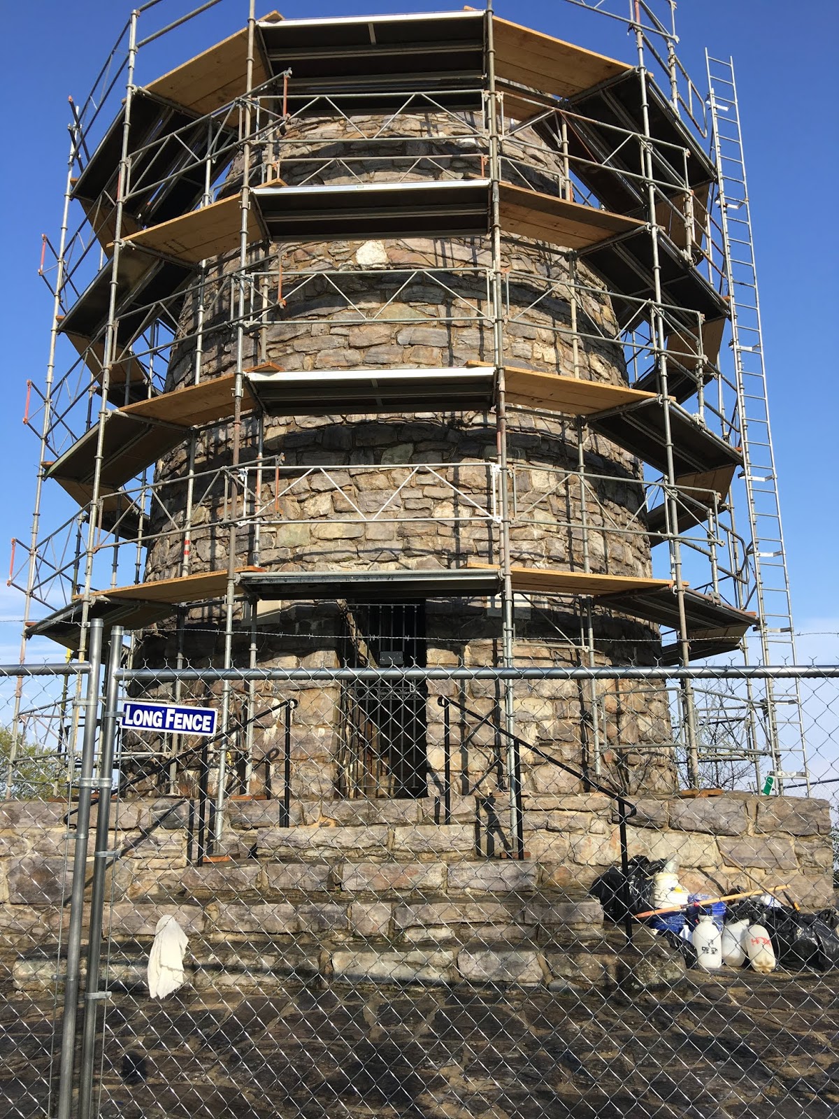
The day started good when I got to see the first Washington Monument. It was erected by the stat of Maryland. Unfortunately, it was being restored and I was unable to into it. The ranger said it had a good view.

It was a tough day, but the weather was good. I had several steep ups and downs. Also some rock ridges to cross. I think those are the worse. They slow me down and I have to be careful not to trip, or twist an ankle.

The sun was out today, but still a pleasant temperature. I dread when summer arrives and it is hot and humid. It wasn’t humid today. That is a blessing.

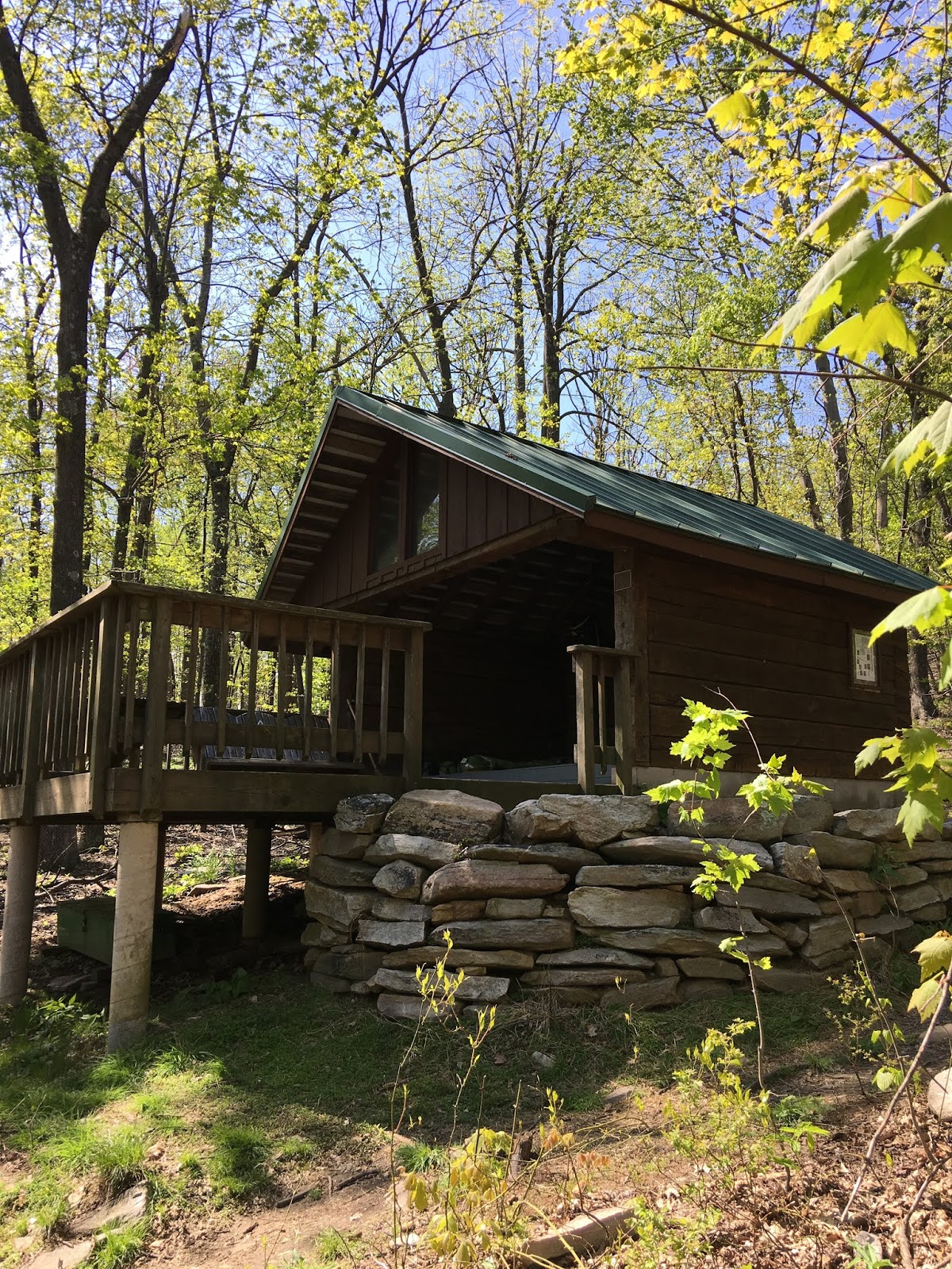
The shelter I stayed at didn’t have water. I had to get water at a spring that was .6 miles from the shelter. So, I carried about 10 extra pounds of water. That wasn’t to bad, except it was a very steep hill to get to the shelter. I did learn that I could carry the extra weight without a problem. My pack seems heavier to me now compared to 2016. I don’t think it is, I guess it is just the way the memory, or age works. :-).

There were 6 at the shelter when I got there. They said they do not get up that early. I decide to put up my tent. I also put up a clothes line to dry out and freshen my clothes and camping equipment. It was a wonderful afternoon. I enjoyed the breeze and cool afternoon. If all days could be like this at the shelter life would be perfect on the trail.


A young lady, Lisa, who I met on the trail camped near me. When she arrived at the camp she introduced herself with her trail name, which I do not remember. She said she was Lisa when we met, but had decided to start using her trail name by the time she reached camp.


Pictures:


1.  Mount Vernon hut at the bottom of the park. A road leads up to the Washington Monument.
2.  First Washing Monument.
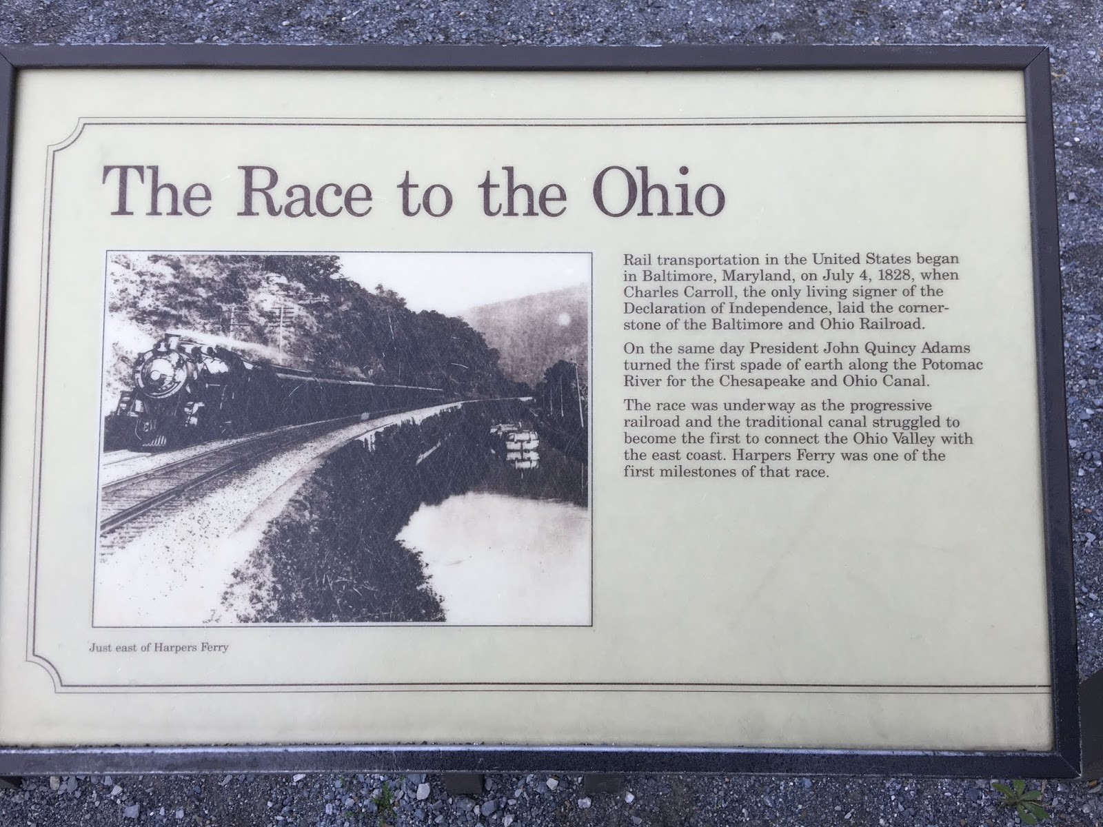
3.  Description of the Washington Monument.
4.  Looking down the trail I am hiking. The steepest and roughness doesn’t show in a picture.
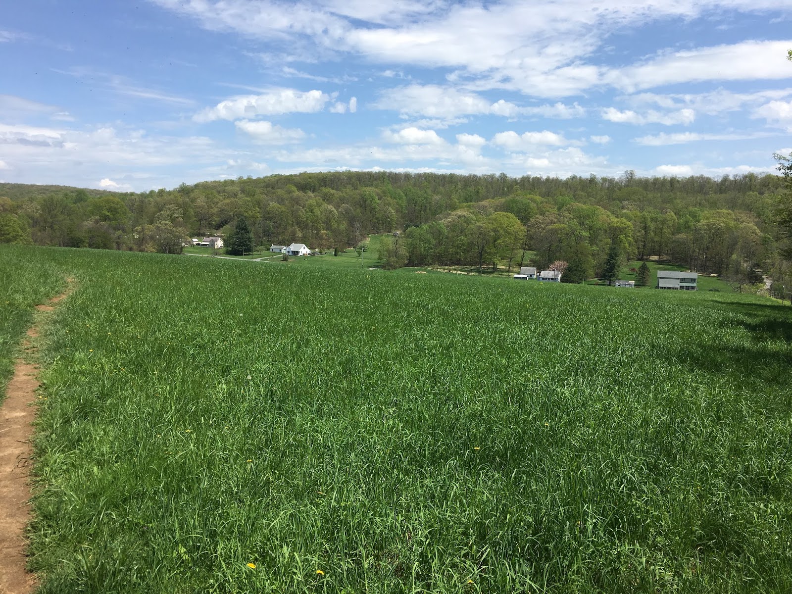
5.  Finally a field to walk across. It is a nice change from the past four weeks of mountain trails 


Tuesday, May 7, 2019

Wed., May 1, 2019. Day 23/79. Dahlgren Backpack Campground. 39.4812N77.6193W. 18.2 miles. 7 hrs, 50 mins. 2.3 mph. 1,042.7 / 1,149.3 to go.

I left Harpers Ferry. Walking along the edge of the city was a hike in itself. I then crossed the railroad track that crosses the Potomac. After that for about 3 miles I followed the old C & O Canal. It was interesting to see how Mother Nature takes back what isn’t kept up. The canal channel is still there, but you would never know it was a canal. A little water, but not flowing, is in it. Trees are grown all over the banks. The road we hiked has been kept up, but there is no indication of how the mules would pull the barges. I guess it quit being used once the railroad arrived.

This is my fourth week and I am feeling in the groove. It was a joy to hike today. My body, shoes, and pack all felt good. I had one hill to climb, which I did pretty good on. I am still having to stop to often while climbing. I am getting better though.

I camped at Dahlgren Backpack Campground. Maryland State made and maintains it. It had about 8 tent sights. The best part is that it had hot water showers. I got to shower. There were two others camping there.

Drew was another camper. He is headed south and doing the Maryland section. I learned it takes only three days to hike the AT through Maryland. When he heard that I came from Harpers Ferry today, one day, he decided to do it in one day. He was going to camp another day, but realized it wasn’t that far or hard.

After showering Drew and I went and ate at the South Mountain Inn. It was a fancy restaurant that was about 1/4 mile up a road that paralleled the trail. It was very good. I had crab soup and a fish plate. I do not remember the kind of fish.

My boots started pulling apart at the ball of the left foot. See the picture. It is a little over 200 miles. No sure how that will affect the water proofing. See the picture.

I got a new hat and bandana at the ATC - Appalachian Trail Conservancy. See pictures.

Pictures:

1. Leaving Harpers Ferry, West Virginia.
2. Rail road bridge crossing Potomac. AT path. Leaving W.V. and entering Maryland.
3. C & O Canal pictures. 8 pictures.
4. White blaze on a tree and my new hat. Three pictures
5. New Bandanna.
6. Shoe separating. Two pictures.


Tuesday, April 30, 2019

Tue., April 30, 2019. Day 22/78. Harpers Ferry, West Virginia. 39.3217N77.7440W. 8.4 miles. 3 hrs, 20 mins. 2.5 mph. 1,024.6 / 1,167.4 to go.

I was anxious to get to Harpers Ferry as this is designated the half way point. I got there early so I could look around town and check in with the ATC - Appalachian Trail Conservancy.

At the headquarters I got my picture taken and entered into their record book. I was the 102 section hiker to register this year. 

The town is small, but full of history. They have many historical buildings and the park service has tours. The John Brown raid occurred here. Before the civil war he tried to over take the national armory to get arms to start a slave up rising. His attempt failed and he was hung. It was a major event before the civil war.

The Shenandoah and Potomac Rivers join together here. Three states also come together, separated by the rivers. Virginia where I finished hiking in, West Virginia, where I am now, and Maryland, where I will start hiking in tomorrow.

I got my clothes washed and I showered and ready for another day, tomorrow on the trail.

I enjoyed my visit.

Pictures:

1 & 2. Bridge crossing Shenandoah river from Virginia to West Virginia.
3.  In front of AT Conservancy headquarters. A big event for all hikers to get their picture taken and put in the record book.
4 - 5.  John Browns last stand.
6 - 7.  Jefferson,s Rock.
8.  Picture of Harpers Ferry.
9.  Niagara monument.
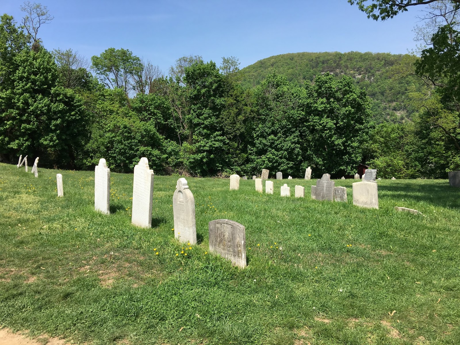
10 - 11. Harpers Ferry cemetery.

12.  Cannon & armory building in back ground. 


Mon., April 29, 2019. Day 21/77. David Lesser Memorial Shelter. 39.2271N77.7786W. 10.6 miles. 5 hrs, 15 mins. 2.0 mph. 1,016.2 / 1,175.8 to go.

Another good day.

The Coxs hiked with me for the first part of the day. It was very enjoyable to have them hike with me. They have been great hosts over the weekend. It was hard to leave the comforts of their home.

I passed the Virginia / West Virginia States line today. Leaving Virginia is a major accomplishment because it has more AT in it than any other state.

I also hiked pass 200 miles since I started hiking this year. I feel like I am on my way now to hike the entire trail. It did take me three weeks to do it though. Pretty slow. I am not concerned about it because I had four zero days in those three weeks. As I am getting back in the rhythm My weekly miles will increase.

I got in the shelter early. The water was 1/4 mile away down a steep trail. It was a good spring. The water tasted very good and refreshing. Though it was a tough, no trail miles.

I met Faircaster at the shelter. He is a through hiker. He started Feb 28. He plans to finish on his birthday of July 28. He says he will have to slow down, but for now he wants to get ahead. He is doing about 25 miles a day.

I met:

RD - Residential Dad. He is younger and people do not like calling him dad.
Farmer. Retired from special forces and bought a farm. 
Vagabond Jack. Met him before, had forgot the Vagabond part of his name.
A couple with a dog Denali. Great dog. Very fit.

Pictures:

1.  Hiking with Coxs.
2.  AT surveyor marker.
3.  Blane and me ready to conquer the wilderness.
4.  State line.
5. Very rocky and rough trail.
6 & 7. Flowers.

8 - 10. David Lesser Shelter.


Sun., April 28, 2019. Day 20/76. Coxs. 0 miles. 1,005.6 / 1,186.4 to go.

I went to church with the Coxs. They have a large ward. The had over 200 at sacrament meeting. They had meetings before and after the block. I had a lot of time to work on my blog. 

After church they had two couples come over for dinner. Blane made chicken schnitzel. Judy made a broccoli salad and other dishes. We ate and visited for several hours. It was very enjoyable.


I hurried and got mostly packed after dinner.


Sat., April 27, 2019. Day 19/75. Snickers Gap, VA 7. Coxs picked me up. 39.1159N77.8524W. 14.4 miles. 7 hrs, 25 mins. 1.9 mph. 1,005.6 / 1,186.4 to go. Slack Packed.

A tough section of trail. After about 1 mile into the section there was a sign saying the section ahead was called the roller coaster. The next 12 miles plus were steep up and down, thus the name. I was slow. With a light pack I thought I would be faster, but it didn’t happen. It was a long tough day.

I passed the 1,000 mile point on the AT. I was excited. I couldn’t find any marker. There was a beautiful Dod Wood tree at the spot, so I took a picture of it. See below.

After my hike we drover over to the little city of Corner Bridge to buy some ice cream. Their bishop recommended it. It was soft ice cream and was good.

It has been very enjoyable to be with the Coxs. They are spoiling me. Sure beats food and accommodations on the trail.

Pictures:  

1 & 2. Coxs and me.
3 - 5. Trail pictures. Note how rocky. Very tough section.
6. Dogwood tree at the 1,000 mile mark of the AT.
7. Butterfly. I see other kinds but they fly to much for me to get a picture.
8. View to the west, where Coxs live.
9. Highway sign about the AT.